
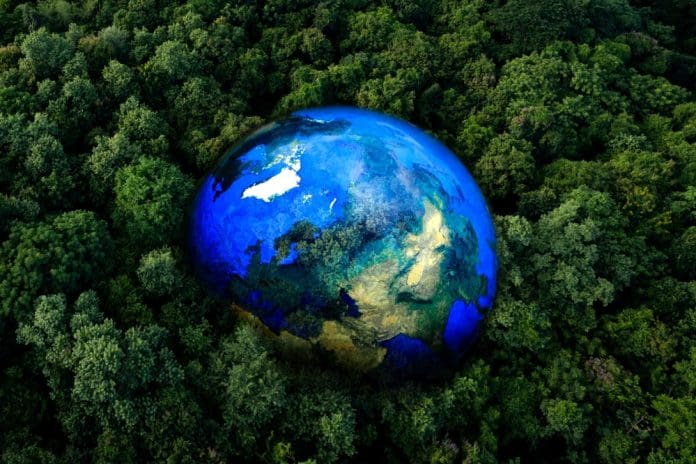
Protecting life with Earth observation
Earth observation is becoming a vital tool to understand, protect, and restore the planet’s biodiversity. By using satellites, airborne sensors, and ground systems, scientists can monitor ecosystems in detail and at large scales. This enables timely, evidence-based action to safeguard habitats, ocean health, and endangered species.
Satellites monitor forests, wetlands, and migration corridors
Satellites such as Landsat and Sentinel have transformed how we map and track vital land habitats. They collect multispectral images that reveal changes in vegetation, land use, and habitat conditions over vast areas and long periods.
Since 1972, Landsat has provided a continuous global record of Earth’s surface, helping scientists detect shifts in ecosystems too large or remote for field surveys. Sentinel-2, with its frequent high-resolution images, allows researchers to track forests, wetlands, and grasslands, measuring leaf area, chlorophyll content, and other indicators essential for supporting biodiversity.
Earth observation also helps monitor migration corridors for large mammals and birds. These routes are critical for ecosystem health, and repeated satellite imaging allows conservationists to detect threats from human development or climate change early.
Keeping an eye on the oceans
Oceans are home to rich biodiversity, but are hard to monitor using traditional field studies. Satellites provide consistent, wide-ranging data that reveal patterns of biological productivity, detect harmful algal blooms, and identify critical habitats for fish, turtles, and marine mammals.
Remote sensing of ocean colour, for example, shows chlorophyll concentrations and other indicators of ecosystem health. Satellite data also helps define marine seascapes, areas with specific biological and physical characteristics, guiding measures to protect biodiversity while limiting economic disruption.
Mapping coral reefs and marine health
Coral reefs, some of the most diverse ecosystems on Earth, face severe threats. Earth observation can map reef structure and water quality, indirectly assessing biodiversity. Hyperspectral imaging captures detailed spectral information, detecting bleaching stress and subtle changes in coral health.
These tools also help monitor water-borne threats like pollution, sedimentation, and eutrophication. This supports conservation strategies that balance ecological protection with sustainable coastal development.
Detecting habitat loss and poaching
Habitat loss from agriculture, development, and illegal activity threatens biodiversity. Traditional monitoring can be slow and limited. Satellites provide large-scale, frequent data to detect changes early.
For instance, satellite imagery can highlight illegal deforestation in protected areas. Radar and optical sensors detect wetland changes crucial for breeding species. Combining satellite data with ship tracking systems also allows near real-time detection of illegal fishing, a major driver of ocean biodiversity loss.
Protecting endangered species
While satellites cannot count individual animals, they provide key information about habitats that affect species presence and abundance. Long-term records from programs like Landsat help assess how land cover changes influence species ranges and identify emerging threats.
Integrating satellite data with animal movement data and field observations allows researchers to model habitat use, migration patterns, and environmental risks. Platforms such as EO4wildlife use these approaches to guide conservation decisions.
Turning data into action
Earth observation delivers real-world conservation benefits when used to inform policy. Governments, NGOs, and international bodies rely on satellite data to designate protected areas, track progress on global targets, and guide environmental legislation.
The 30×30 initiative, aiming to protect 30% of terrestrial and marine areas by 2030, depends on Earth observation to identify priority areas, monitor progress, and evaluate effectiveness. National conservation agencies also use satellite data for habitat mapping and natural capital assessments, ensuring measurable biodiversity gains.
The future: AI, Big Data, and next-generation satellites
Next-generation satellites will provide higher resolution, more frequent data, offering richer insights into biodiversity. Coupled with AI and Big Data analytics, these datasets can detect ecological changes faster and more accurately.
Machine learning can reveal subtle patterns, such as early habitat stress or emerging threats to species. Collaborative platforms that combine Earth observation, field data, and citizen science strengthen global monitoring networks.
Earth observation: A cornerstone of conservation
Earth observation has moved from a niche tool to a central part of global biodiversity and conservation efforts. It tracks forests, wetlands, oceans, and endangered species, providing the data needed to tackle complex ecological challenges.
Advancing Earth observation technologies and analytics gives humanity the ability to make informed decisions and protect life on our planet.


